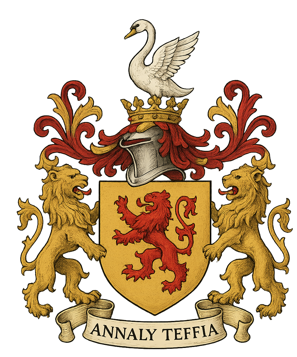
Honour of Annaly - Feudal Principality & Seignory Est. 1172


|
All - The territory now called Longford anciently went by the names Teathba and Teffia. North Teffia was inhabited by the Glasraidhe, descendants of early inhabitants. By the 5th century Longford was divided into north and south. The northern territory became known as Cairbre Gabhra, after Cairbre a son of Niall of the Nine Hostages. Another son received the southern half. In the 8th century the Conmaicne (e.g. O'Farrells) invaded the Ui Cairbre and by the 11th century were the dominant people as the territory became known as Annaly, and was considered part of the province of Meath. It was controlled in the north by the O'Farrel Ban (White) and in the south by the O'Farrel Buy (Yellow). Longford was formed as a county (shire) in 1576.
|
About Longford Feudal Prince House of Annaly Teffia Rarest of All Noble Grants in European History Statutory Declaration by Earl Westmeath Kingdoms of County Longford Pedigree of Longford Annaly What is the Honor of Annaly The Seigneur Chronology of Teffia Annaly Lords Paramount Ireland Market & Fair Chief of The Annaly One of a Kind Title Lord Governor of Annaly Prince of Annaly Tuath Principality Feudal Kingdom Irish Princes before English Dukes & Barons Fons Honorum Seats of the Kingdoms Clans of Longford Region History Chronology of Annaly Longford Hereditaments Captainship of Ireland Princes of Longford News Parliament 850 Years Titles of Annaly Irish Free State 1172-1916 Feudal Princes 1556 Habsburg Grant and Princely Title Rathline and Cashel Kingdom The Last Irish Kingdom Landesherrschaft King Edward VI - Grant of Annaly Granard Spritual Rights of Honour of Annaly Principality of Cairbre-Gabhra House of Annaly Teffia 1400 Years Old Count of the Palatine of Meath Irish Property Law Manors Castles and Church Lands A Barony Explained Moiety of Barony of Delvin Nugents of Annaly Ireland Spiritual & Temporal Islands of The Honour of Annaly Longford Blood Dynastic Burke's Debrett's Peerage Recognitions Water Rights Annaly Writs to Parliament Irish Nobility Law Moiety of Ardagh Dual Grant from King Philip of Spain Rights of Lords & Barons Princes of Annaly Pedigree Abbeys of Longford Styles and Dignities Ireland Feudal Titles Versus France & Germany Austria Sovereign Title Succession Mediatized Prince of Ireland Grants to Delvin Lord of St. Brigit's Longford Abbey Est. 1578 Feudal Barons Water & Fishing Rights Ancient Castles and Ruins Abbey Lara Honorifics and Designations Kingdom of Meath Feudal Westmeath Seneschal of Meath Lord of the Pale Irish Gods The Feudal System Baron Delvin Kings of Hy Niall Colmanians Irish Kingdoms Order of St. Columba Chief Captain Kings Forces Commissioners of the Peace Tenures Abolition Act 1662 - Rights to Sit in Parliament Contact Law of Ireland List of Townlands of Longford Annaly English Pale Court Barons Lordships of Granard Irish Feudal Law Datuk Seri Baliwick of Ennerdale Moneylagen Lord Baron Longford Baron de Delvyn Longford Map Lord Baron of Delvin Baron of Temple-Michael Baron of Annaly Kingdom Annaly Lord Conmaicne Baron Annaly Order of Saint Patrick Baron Lerha Granard Baron AbbeyLara Baronies of Longford Princes of Conmhaícne Angaile or Muintir Angaile Baron Lisnanagh or Lissaghanedan Baron Moyashel Baron Rathline Baron Inchcleraun HOLY ISLAND Quaker Island Longoford CO Abbey of All Saints Kingdom of Uí Maine Baron Dungannon Baron Monilagan - Babington Lord Liserdawle Castle Baron Columbkille Kingdom of Breifne or Breny Baron Kilthorne Baron Granarde Count of Killasonna Baron Skryne Baron Cairbre-Gabhra AbbeyShrule Events Castle Site Map Disclaimer Irish Property Rights Indigeneous Clans Dictionary Maps Honorable Colonel Mentz Valuation of Principality & Barony of Annaly Longford“The Princely House of Annaly–Teffia is a territorial and dynastic house of approximately 1,500 years’ antiquity, originating in the Gaelic kingship of Teffia and preserved through the continuous identity, property law, international law, and inheritance of its lands, irrespective of changes in political sovereignty.”
Feudal Baron of Longford Annaly - Baron Longford Delvin Lord Baron &
Freiherr of Longford Annaly Feudal Barony Principality Count Kingdom of Meath - Feudal Lord of the Fief
Blondel of the Nordic Channel Islands Guernsey Est. 1179 George Mentz
Bio -
George Mentz Noble Title -
George Mentz Ambassador - Order of the Genet
Knighthood Feudalherr - Fief Blondel von der Nordischen
Insel Guernsey Est. 1179 * New York Gazette ®
- Magazine of Wall Street - George
Mentz - George
Mentz - Aspen Commission - Ennerdale - Stoborough - ESG
Commission - Ethnic Lives Matter
- Chartered Financial Manager -
George Mentz
Economist -
George Mentz Ambassador -
George Mentz - George Mentz Celebrity -
George Mentz Speaker - George Mentz Audio Books - George Mentz Courses - George Mentz Celebrity Speaker Wealth
Management -
Counselor George Mentz Esq. - Seigneur Feif Blondel - Lord Baron
Longford Annaly Westmeath
www.BaronLongford.com * www.FiefBlondel.com |

Commissioner George Mentz - George
Mentz Law Professor - George
Mentz Economist
George Mentz News -
George Mentz Illuminati Historian -
George Mentz Net Worth
The Globe and Mail George Mentz
Get Certifications in Finance and Banking to Have Career Growth | AP News

